by Isabella O’Brien, RRBC Staff and TJPDC Regional Planner II
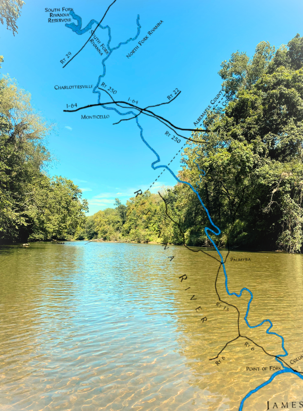
The Rivanna River is more than just a waterway; it’s a living archive of natural and human history. From its headwaters in the ancient Blue Ridge Mountains to its convergence with the James River, this remarkable basin has shaped—and been shaped by—centuries of life. To truly understand the Rivanna, you have to look back in time, and that’s exactly what the new Rivanna River StoryMap aims to do.
This interactive experience, developed by the Thomas Jefferson Planning District Commission (TJPDC) on behalf of the Rivanna River Basin Commission (RRBC), provides a comprehensive overview of the basin’s past and present. It’s a journey that reveals how geology, Indigenous culture, colonial development, and modern-day environmental challenges have all left their mark on this vital watershed.
A River Forged by Time
The story begins millions of years ago, with the dramatic collision of tectonic plates that created the Appalachian Mountains. These mountains, once as towering as the Andes, have been slowly worn down by time and water, leaving behind the rolling landscape of Virginia’s Piedmont region. The Rivanna River itself is a product of this ancient process, carving its path through weathered rock formations like the Precambrian Charlottesville formation. Understanding this geologic foundation is key to appreciating the river’s character and the rich, fertile soils that have attracted inhabitants for millennia.
The Legacy of the Monacan Nation
Long before European colonists arrived, the Rivanna River was the heart of the Monacan Indian Nation. For over 10,000 years, the Monacans, whose name means “Earth people,” maintained a deep connection to the watershed. The river was their highway, a source of food and water, and the lifeblood of their settlements, including the capital of Rassawek, located at the confluence of the Rivanna and James Rivers.
The StoryMap delves into this crucial period, highlighting the Monacans’ sustainable practices, such as their cultivation of the “Three Sisters” crops (corn, beans, and squash), and their unique cultural rituals, like the sacred burial mounds located in view of the river. You’ll learn how the arrival of European colonists brought disease and conflict, eventually displacing the Monacans from their ancestral lands. The StoryMap also recounts a powerful modern victory for the Monacan Nation, showcasing their successful fight to protect the Rassawek site from a proposed water pump station. This section serves as a powerful reminder of the ongoing struggle to preserve a vital part of the Rivanna’s heritage.
Navigating Colonial History
The new interactive tool also guides you through the era of European colonization, starting with the naming of the river after Queen Anne. The early settlers, much like the Monacans, were drawn to the fertile riverbanks, where they established tobacco and, later, corn and wheat plantations. The StoryMap emphasizes a crucial, often overlooked, aspect of this history: the fact that this entire transformation was built on the forced labor of enslaved African Americans.
The desire to transport crops led to a major new chapter in the river’s story: navigation. This section details the fascinating efforts to make the Rivanna navigable, from Thomas Jefferson’s early work to the creation of sluices and wing dams. You’ll discover the unique design of the batteau, a flat-bottomed boat perfectly suited for the Rivanna’s shallow waters. As you explore the StoryMap, you’ll see how innovations like the railroad eventually rendered river navigation obsolete, but not before leaving behind an incredible legacy of engineering, which you can still see today.
The Challenges of Today and Tomorrow
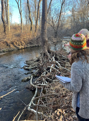
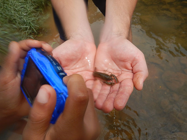
The final section of the StoryMap brings the river’s history into the present day, focusing on the critical issues of water quality and conservation. You’ll learn about the efforts to restore the river, including the landmark removal of the Woolen Mills Dam, a project that improved water flow and restored vital fish habitats. The StoryMap also explains complex concepts in a simple way, like how impervious surfaces (paved areas and buildings) contribute to pollution and how local organizations like the Rivanna Conservation Alliance (RCA) use volunteer data to monitor the river’s health.
The story concludes with an important discussion on the resilience of the community. It touches on the legacy of enslaved laborers, whose descendants, such as those in the Hydraulic Mills and Ivy Creek communities, worked to build new lives only to be displaced again by modern development. This section serves as a poignant conclusion, reminding us that the Rivanna River’s story is still being written, and that the past continues to influence its future.
Whether you’re a lifelong resident of the basin or new to the area, this new StoryMap offers a powerful and comprehensive look at the Rivanna River. It’s a testament to the hard work of countless individuals and a call to action for everyone to become a steward of this irreplaceable natural and cultural resource. We invite you to explore the story of the Rivanna and discover how its past shapes its present.
View the Story Map: https://arcg.is/191ruq7
Acknowledgements
This project was made possible by the dedicated research and development efforts of MaeEllen Megginson, our TJPDC Environmental Planning Intern during the summer of 2025. The RRBC and TJPDC are deeply grateful for her work in spearheading this initiative and creating a resource that will be of great use to the community. Her enthusiasm for the project was a key driver of its success.